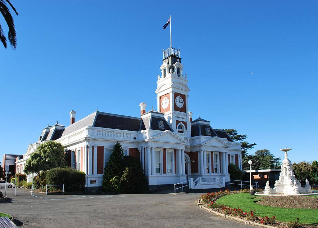
Ararat
About
Ararat is approximately 200 km north-west of Melbourne, and 91 km from Ballarat, on the Western Highway (M8/A8). The region is home to approximately 12,000 people, and is a former gold mining town. A number of historical buildings remain from that period.
The township is surrounded by scenic locations; the Grampians National Park with its spectacular natural beauty and the town centre of Halls Gap, the Mount Buangor State Park dominated by the peak of its name, and Langi Ghiran State Park with its rugged granite formations. A number of wineries with spectacular views are also located nearby.
Accommodation
Rural health students in Ararat have access to accommodation (subject to availability) managed by Deakin Rural Health. Please contact
www.deakinruralhealth.com.au/ararat/
to book and for further details.
If unavailable, other options include:
- cabins at Acacia Caravan Park (6 Acacia Avenue, Ararat. Ph: 5352 2994). Fully self contained. See http://acaciatouristpark.com/
- Cabins at Pyrenees Caravan Park (6003 Pyrenees Hwy, Ararat. Ph: 5352 1309). Fully self contained. See www.pyreneescaravanpark.com/
Useful Links
For more information on the region, and what it has to offer, please visit the web links below.
Tourist information: www.travelvictoria.com.au and search for the relevant township in the Ararat region.
Ararat Council information: www.ararat.vic.gov.au/
East Grampians Health Service website: https://eghs.net.au/
going rural health support
You may be eligible for Going Rural Health financial assistance to support a placement in Ararat. Please visit the Student Support Scheme page for more details HERE.
Contacts
General enquiries:
Phone: (03) 8344 6791
Email: going-ruralhealth@unimelb.edu.au
Acknowlegements
Thanks to Mattinbgn at Wikimedia Commons for the use of pictures.
