Benalla
About
Benalla is situated mid-way between Euroa and Wangaratta, 212 km north-east of Melbourne, on the Broken River. The region’s first people are the Taungurong people.
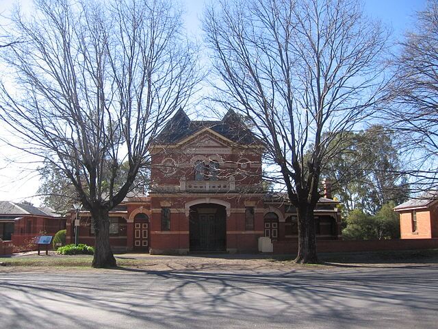
The area was first called ‘Swampy’ by the explorers Hume & Hovell, who noted it as an agricultural settlement, and the settlement was re-named ‘Broken River’ when the first police station and Post Office were opened in the 1840’s. The town was named Benalla some years later.
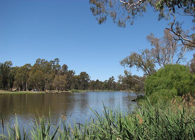
In 1973-4 the Broken River was dammed and Lake Benalla was created as an ornamental centre for the city. The lake is popular for swimming and boating, and is surrounded with parks and cycling and walking tracks.
Surrounding Benalla are many parks worth exploring: wetlands to the north-east, Reef Hills State Park to the south, and Mount Samaria State Park further south.
Accommodation
The University of Melbourne’s UDRH has accommodation in Benalla to support health professional student’s clinical placements within our region. The accommodation is available to both undergraduate and post graduate health professional students.
To make an accommodation enquiry for the Benalla region, please click here.
Useful Links
The following websites provide a little more information about the Benalla township and region:
http://www.benalla.vic.gov.au/
http://www.enjoybenalla.com.au/
https://en.wikipedia.org/wiki/Benalla
https://www.travelvictoria.com.au/benalla/
https://wintonwetlands.org.au/
Health Service Information:
going rural health support
You may be eligible for Going Rural Health financial assistance to support a placement in Benalla. Please visit the Student Support Scheme page for more details HERE.
Contacts
For more information and general enquiries:
Phone: (03) 8344 6791
Acknowlegements
Thanks to Mattinbgn & Melburnian from Wikimedia Commons for the use of pictures.
